Protecting Global Coastal Heritage
We’re helping heritage practitioners safeguard their sites by providing information on the risk of climate change driven sea-level rise.
As sea levels are predicted to rise over the next decades and storm surges will cause increasingly powerful waves to batter coastlines, some of the world’s most important coastal heritage could be inundated or crumble into the sea and be lost forever.
Challenge
Coastal erosion and sea-level rise caused by climate change threatens to damage and destroy heritage sites globally but a lack of quantitative predictions of the extent of exposure means there’s currently no way to accurately assess the risk or extent of loss.
Insight
A multidisciplinary team of international researchers joined forces in a new research project to address this problem.
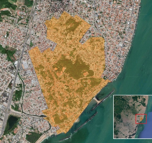
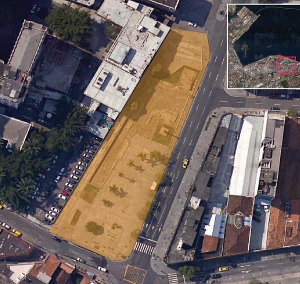
Together they mapped over 1000 UNESCO World Heritage Sites under 20m above sea level and are modelling their exposure to coastal erosion and flooding at different time periods and at different degrees of warming.
Using sophisticated models that show projected changes to the world’s coastline at 10-year intervals, the team will produce time-slice maps to show the extent of damage over the next hundred years. This research will enable heritage practitioners and museum professionals to accurately plan for the mitigation and conservation of sites in danger in the short and long term.


In 2022, a pilot study on African Heritage Sites, led by Dr Michalis Vousdoukas at the European Research Council, was published in Nature Climate Change. Dr Vousdoukas and colleagues produced flood maps which were overlaid onto the global heritage GIS. Corresponding authors were Dr Nick Simpson at the University of Cape Town and Prof Joanne Clarke from UEA. The results from the Africa study fed into the IPCC Sixth Assessment Report (AR6-WG2) Chapter 9: Climate Impact, Vulnerability and Adaptation in Africa.
Once the modelling has been completed and an initial publication submitted to Nature Climate Change, the global dataset will be made publicly available as an online interactive resource.
Dr Joanne Clarke
An archaeologist at our School of Art, Media and American Studies, Joanne plays an essential role in the study. She ensured that the methodological design of the initial GIS would yield useful data for heritage researchers and practitioners. Once the modelling is complete Joanne will analyse and interpret the results, which will facilitate the heritage sector in mitigation strategies to reduce future risks and protect World Heritage Sites.

“Having an interdisciplinary team was essential for this project as it has meant that the results are being translated and will be communicated to the correct audiences, such as heritage practitioners and ecologists, who are able to implement responsive management strategies to protect the sites at risk.”
Prof Joanne Clarke
Collaboration
The interdisciplinary research team is made up of archaeologists, geographers, coastal engineers and climate scientists. Their wide-ranging expertise ensures that the holistic story of the impact of sea-level rise and coastal erosion to heritage sites globally can be told.
Discover More
Explore
more...What Next for the IPCC Reports: Discover Prof Joanne Clarke’s contribution to the IPCC and on putting heritage on the agenda for future policy reporting.
Watch: Coming Soon!
Prof Joanne Clarke and Dr Mark Tebboth discuss migration, adaptation & intangible cultural heritage as part of climate conversations series.

)